— Construction Services —
Progression monitoring, Orthomoasics, Inspections
Progression Monitoring
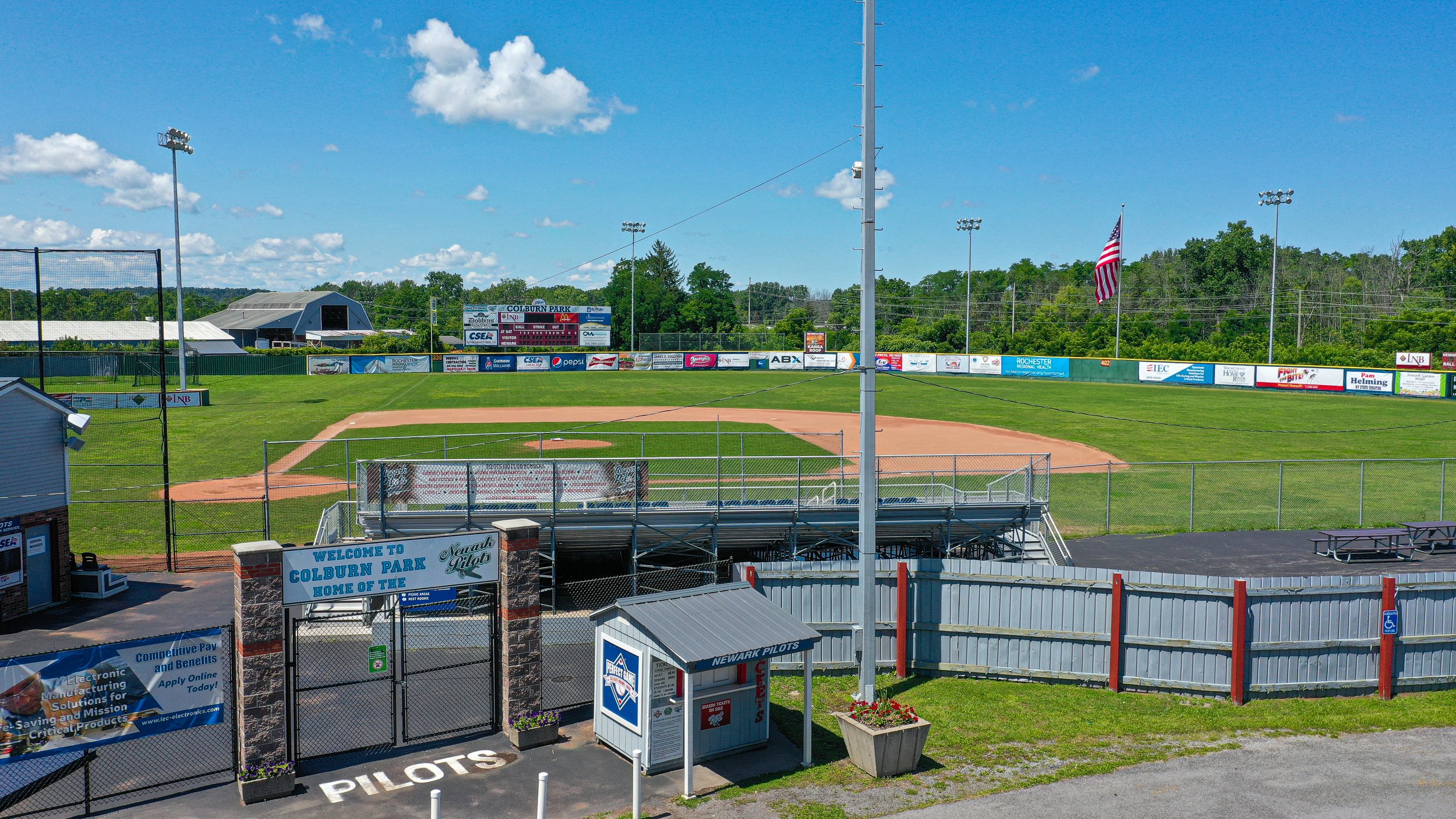
Construction progress monitoring using drones involves the use of unmanned aerial vehicles (UAVs) to track the progress of a construction project. This can be done by capturing high-resolution images and videos of the site, and using image processing software to analyze them. By comparing the images and videos taken at different stages of the project, it is possible to track changes over time and identify any delays or issues that may have arisen. Drones can also be used to take measurements of the site and structures, which can be used to create detailed 3D models of the project. This can help project managers and engineers to better understand the progress of the project and identify areas that may require additional attention. The use of drones for construction progress monitoring can increase the accuracy and efficiency of the process while reducing the need for manual inspections.
Orthomoasics
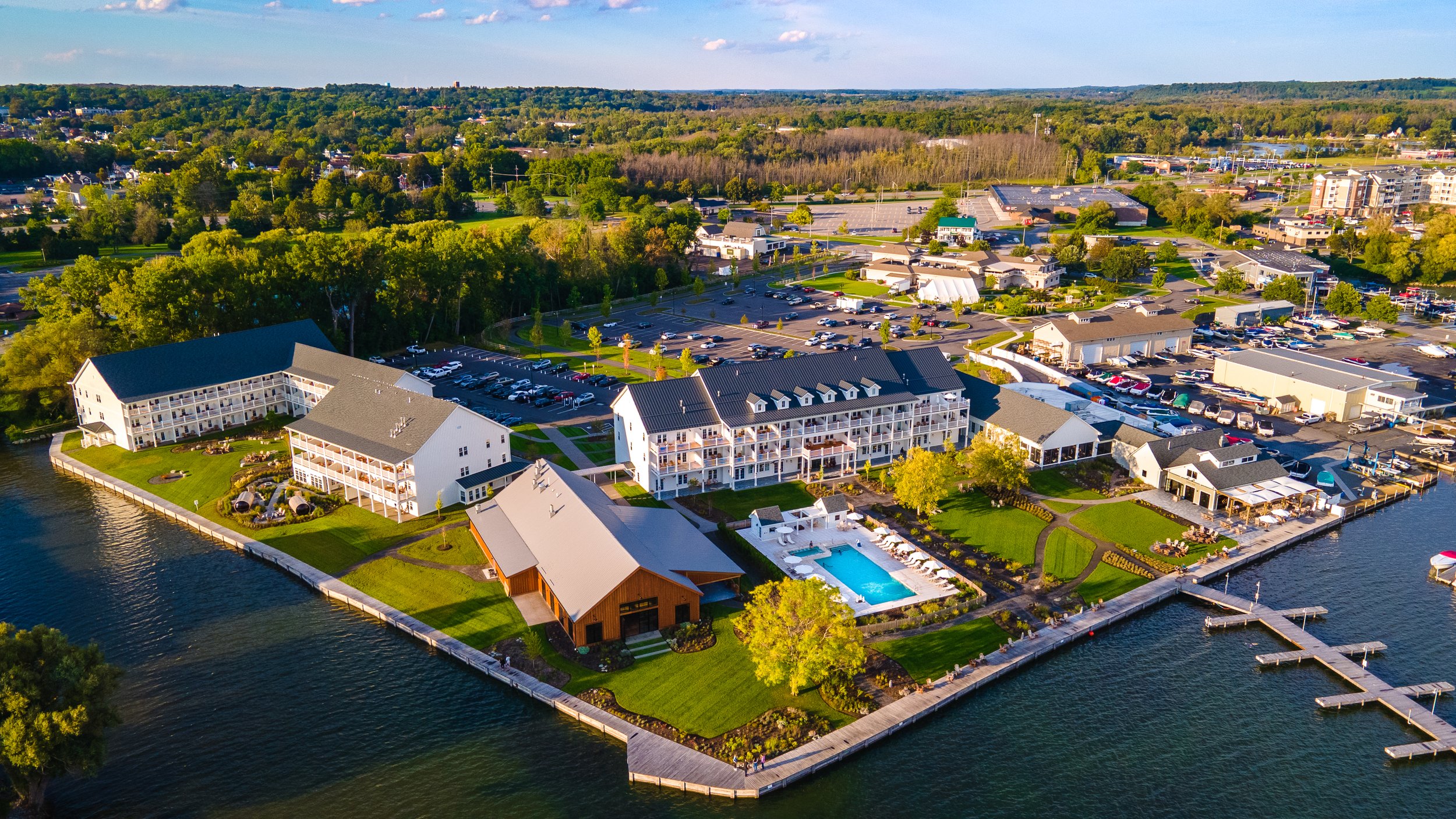
Orthomosaics are high-resolution images created by stitching together multiple overlapping photographs taken from a drone. These images are used to create detailed maps and 3D models of the area captured in the photos. Drones equipped with cameras can fly over an area and take multiple photographs from different angles. These photos are then processed using specialized software to create a seamless, highly detailed image of the area. This process can be used in a variety of fields including surveying, agriculture, and construction. Orthomosaics can be used to create detailed maps, measure distances, and estimate volumes of materials. They can also be used to detect changes over time, such as erosion or urban development.
Visual Inspections